


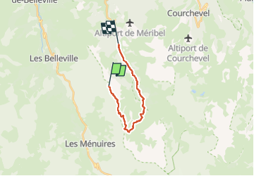

6.7 km | 8.8 km-effort

User


FREE GPS app for hiking
 SityTrail
IGN / Geographical institutes
SityTrail World
The world is yours!
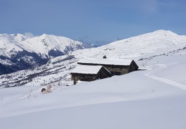
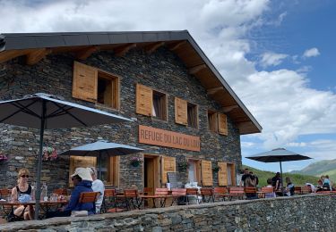
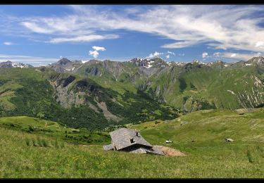
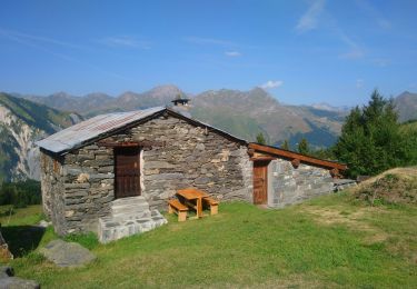
Trail Walking of 14.7 km to be discovered at Auvergne-Rhône-Alpes, Savoy, Les Belleville. This trail is proposed by bymarc26.
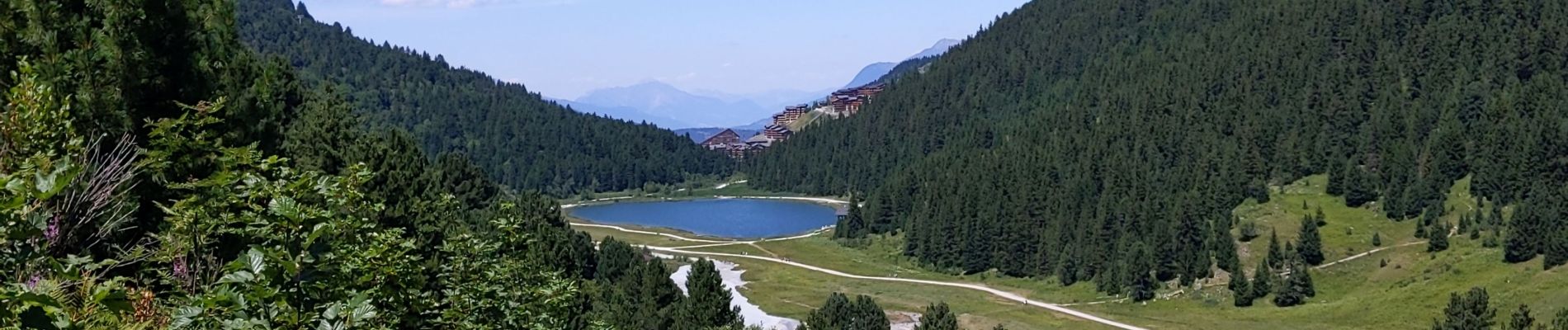
super sur les crêtes
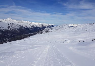
qq descentes empruntent des pistes ce qui est moyen


Walking
Walking
Walking

Walking

Other activity

Walking
Other activity
Walking
Walking